Software Used

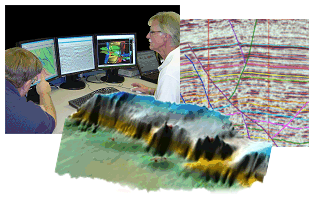
We have licensed software for seismic interpretation, geologic modeling, 3D seismic design and ray trace modeling, seismic data analysis and processing, and GIS and remote sensing and mapping. We developed some proprietary utility programs for seismic survey design, well ties, and SEGY file interrogation
| |